Helping communities map a resilient future in the Sahel
Maps illustrating the data-driven, community-led work on groundwater resources by the USAID/TerresEauVie project, implemented by Winrock International in Africa’s Sahel region, have been selected for inclusion in the recently published 2024 Esri Map Book.
“This year the 2024 Esri Map Book (Volume 39) acknowledges that humans are a dominant part of our planet’s ecosystem and will increasingly need to play a role in creating its future. The maps in this book illustrate many practical ways organizations and individuals are impacting our world and using GIS and The Geographic Approach to help create and manage a better tomorrow,” according to a description of the book on Esri’s website.
Aaron Sundsmo, Winrock’s associate vice president for Agriculture, Resilience & Water, said:
“Congrats TEV for your inclusion in the ESRI Map Book! This innovative approach to visualizing groundwater for better management of natural resources by local policy makers is another fantastic example how Winrock can partner with local leaders to support the achievement of their communities’ vision.”
Software: ArcGIS Survey123, ArcGISDesktop, Envi, MapSource; Data Sources: Data collected on-site during the groundwater study sponsored by USAID TerresEauVie Activity – from Resilience in The Sahel Enhanced Project (RISE II) – implemented by Winrock International and data coming from the General Directorate for Water Resources of Burkina Faso and Aster images.
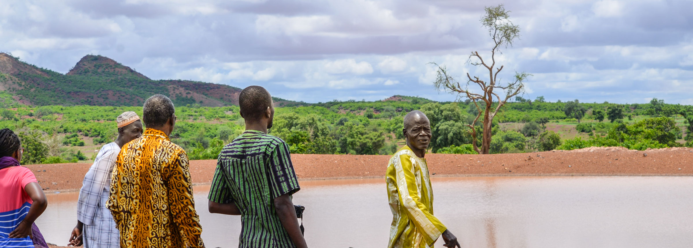
Implemented in Burkina Faso and Niger beginning in 2019, TEV enhances social and ecological risk management systems in the region by partnering with communities and government to improve water security, enhance sustainable productive land use, and improve management of shocks, risks and stresses.
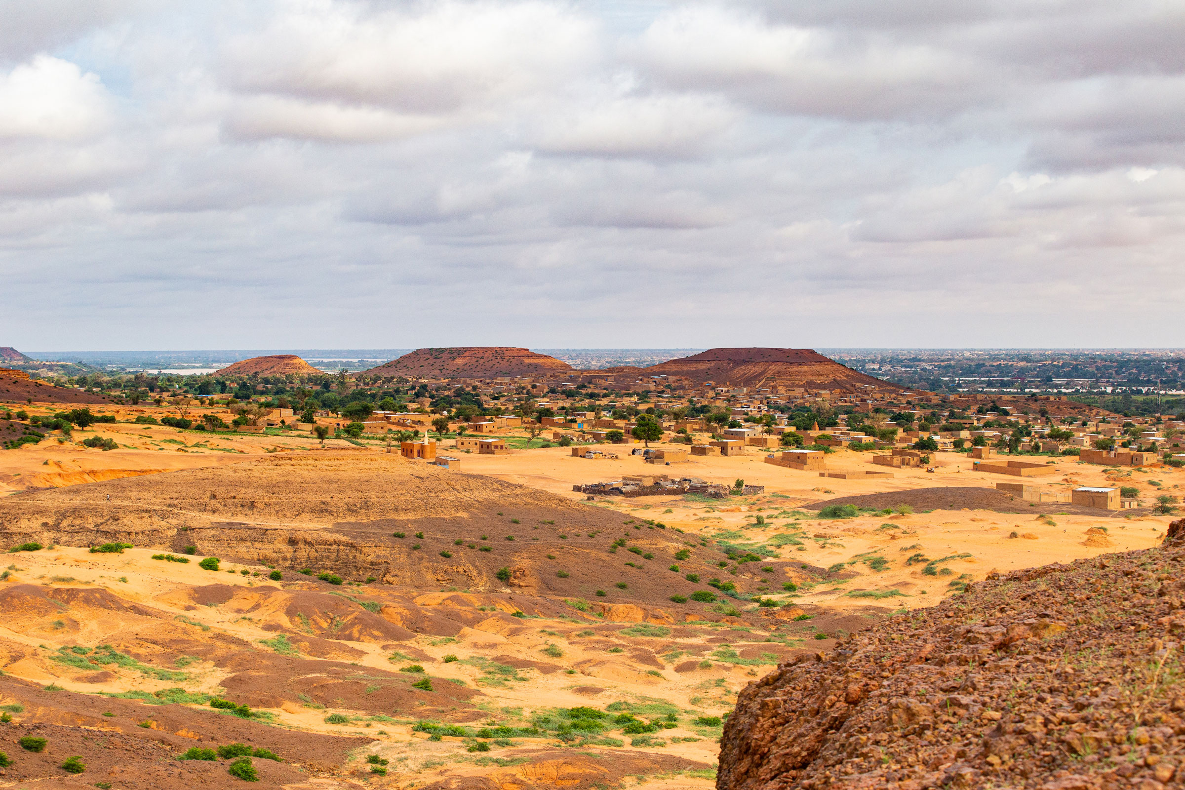
In the Sahel − one of the fastest-warming regions of the world − TEV uses an inclusive, locally led approach to combine data, science and innovative GIS (geographic information systems) to improve the availability of, access to and safe use of adequate, reliable water and land resources for the health, livelihoods and resilience of people and the environment.
The project makes extensive use of ArcGIS software developed by California-based Esri to help communities, farmers, government leaders and others visualize a rapidly changing natural resources landscape, offering a data- and evidence-based approach to improved natural resources management and planning in a conflict prone, climate-vulnerable region.
The Winrock mapping included in the Esri book was developed by TEV’s Abdoul Bassit Sawadogo, a Winrock assistant monitoring, evaluation and GIS officer, and Judith Lenti-Sidibe, a project communications consultant with support from Winrock’s AGILE team.
The TEV entry featured in the Esri book states: “This map highlights the groundwater potential of the commune (equivalent to a US county) of Yalgo in Burkina Faso (located in the country’s Center-North region), with a density scale (see aquifer potential) ranging from low to high. The areas of highest density are those with high-flow drilling. The density of the water infrastructure network and productivity of the aquifers are connected. This type of map bridges the gap between knowledge and data about groundwater in Burkina Faso and informs policymaking and investment in potable water infrastructure at local, regional, and national levels.”
Winrock’s Abdoul Bassit Sawadogo said:
“We are truly honored to see our GIS work featured in the 2024 Esri Map Book. This achievement reflects the collective efforts of the entire TEV team and our commitment to advancing the goals of the USAID/TerresEauVie Project… we look forward to continuing our contributions to the success of the project.”
TEV’s innovative GIS work also was featured in July 2023 as part of Esri Founder and President Jack Dangermond’s presentation at the 43rd annual Esri User Conference in San Diego. During his introductory presentation – attended by nearly 18,000 in-person participants with 20,000 additional viewers online — Dangermond highlighted maps and tools developed to plan for and respond to disasters, including one developed by TEV to help the Tougouri commune in Burkina Faso visualize potential risks to their communities.
“The Tougouri multi-risk map is a visual representation of the various risks to which the commune is exposed,” TEV project members said.
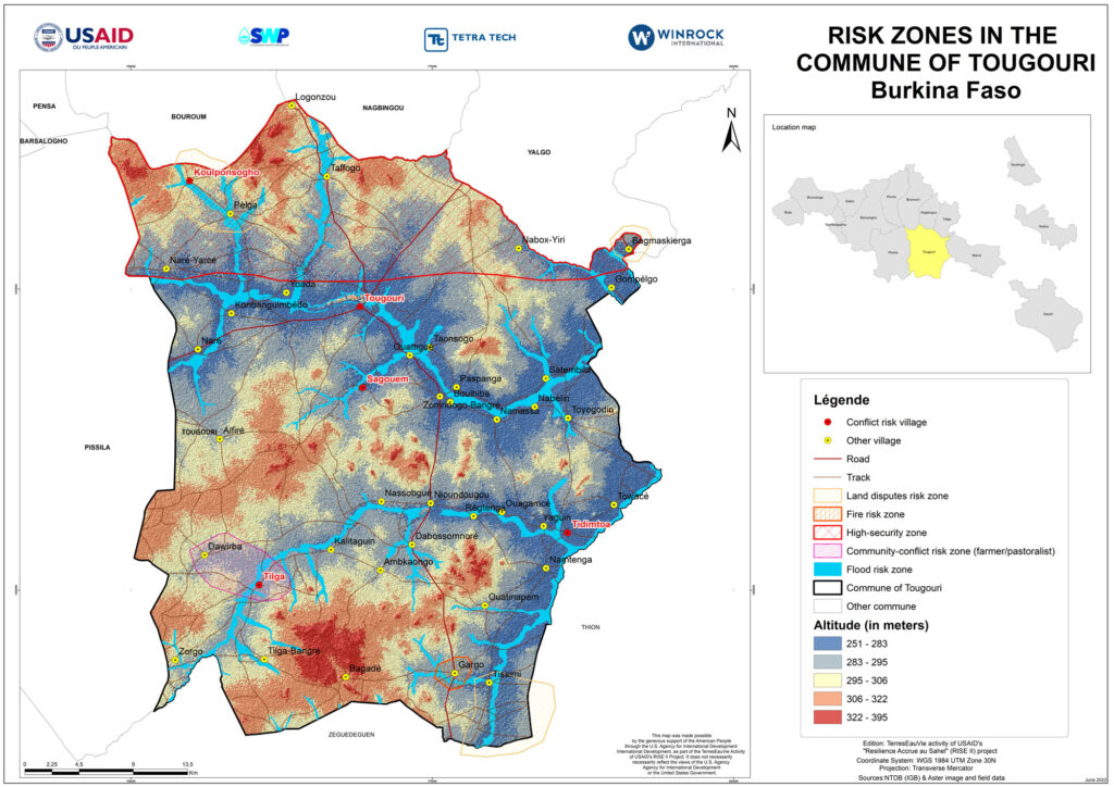
“It encompasses a range of information concerning various risks, such as natural hazards (flooding), and environmental risks (forest fires), as well as other potential threats such as land and community conflicts, and insecurity, all correlated with the local topography. The aim of this map is to provide a global vision of the hazards that could impact the region, offering planners, decision-makers, and residents a better understanding of existing vulnerabilities and the possibility of taking preventive measures. The map is being used by TerresEauVie and the municipality of Tougouri for disaster management, land-use planning, and strategic decision-making related to the implementation of activities.”
Related Projects