Resources
December 2018 SWP Newsletter
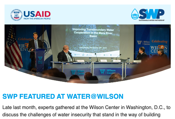
Late last month, experts gathered at the Wilson Center in Washington, D.C., to discuss the challenges of water insecurity that stand in the way of building healthy, prosperous communities. SWP’s John Parker spoke on transboundary water cooperation in the Mara River Valley. In This Issue – SWP Featured at Water@Wlson – Securing A Sustainable Future […]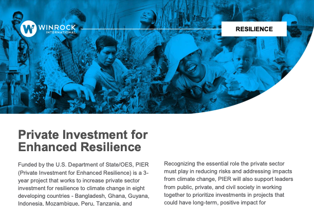
PIER Year 1 Handout
Funded by the U.S. Department of State/OES, PIER (Private Investment for Enhanced Resilience) is a 3-year project that works to increase private sector investment for resilience to climate change in eight developing countries – Bangladesh, Ghana, Guyana, Indonesia, Mozambique, Peru, Tanzania, and Vietnam. PIER will support both public and private investors to recognize and take […]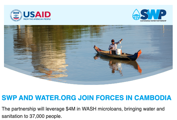
November 2018 SWP Newsletter
The partnership will leverage $4M in WASH microloans, bringing water and sanitation to 37,000 people. In This Issue: – Translating Data into Action – E-Flows & Water Security
Analyses of Land Cover Change Trajectories Leading to Tropical Forest Loss
In Indonesia, land cover change for agriculture and mining is threatening tropical forests, biodiversity and ecosystem services. However, land cover change is highly dynamic and complex and varies over time and space. In this study, we combined Landsat-based land cover (change) mapping, pixel-to-pixel cross tabulations and expert knowledge to analyze land cover change and forest […]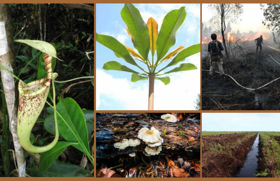
Penentuan Tingkat Rujukan (Reference Level) untuk Menduga Penurunan Emisi dari Restorasi Gambut
Emisi dan peningkatan konsentrasi gas rumah kaca (GRK) merupakan penyebab perubahan iklim yang menjadi isu global dan tantangan bagi masyarakat antarbangsa. Berbagai upaya telah dan akan terus dilakukan oleh pemerintah, termasuk pemerintah Indonesia, untuk mengurangi emisi GRK tanpa harus mengorbankan pembangunan untuk kesejahteraan masyarakat.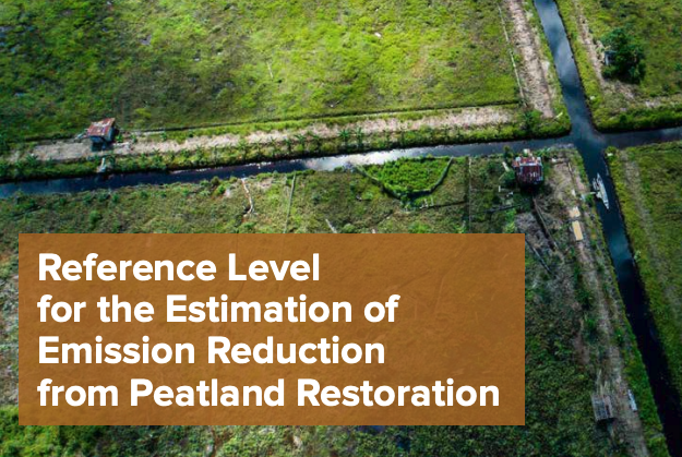
Reference Level for the Estimation of Emission Reduction from Peatland Restoration
The Government of Indonesia’s position and commitment to sustainable development is already widely known, as is its commitment to reducing greenhouse gas (GHG) emissions; the cause of global climate change. Indonesia’s commitment to reducing greenhouse gases is laid out in its Nationally Determined Contribution (NDC) document, and was recorded in the United Nations Framework Convention […]
Assessing Sustainability and Effectiveness of Climate Information Services in Africa
Africa is one of the most vulnerable continents to climate variability and change due to its high exposure to climate shocks and stresses (e.g., droughts) and relatively low adaptive capacities (IPCC Fifth Assessment Report, 2014). In sub-Saharan Africa (SSA) rain-fed agriculture, which is vital for a large percentage of the rural population and contributes significantly […]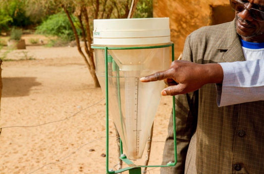
Development of Metrics to Assess National Meteorological Services in Africa
Effective Climate Information Services (CIS) provides climate and weather information and related advisory services at temporal and spatial scales relevant to a range of stakeholders, including decision-makers at regional, national, and local community levels such as smallholder farmers and civil society. CIS should meet the immediate needs of agricultural communities and serve as the foundation […]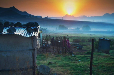
NMHS Capacity Development Assessment: Assessing the Current Status and Priority Needs of Climate Information Services in Africa
Following the establishment of the Global Framework for Climate Services (GFCS) in 2009, the need to deliver climate services has become mainstream (and expected) amongst National Meteorological and Hydrological Services (NMHSs). This expected delivery of climate services includes the appropriate engagement and capacity development of users of climate information. However, the delivery of user-relevant climate […]